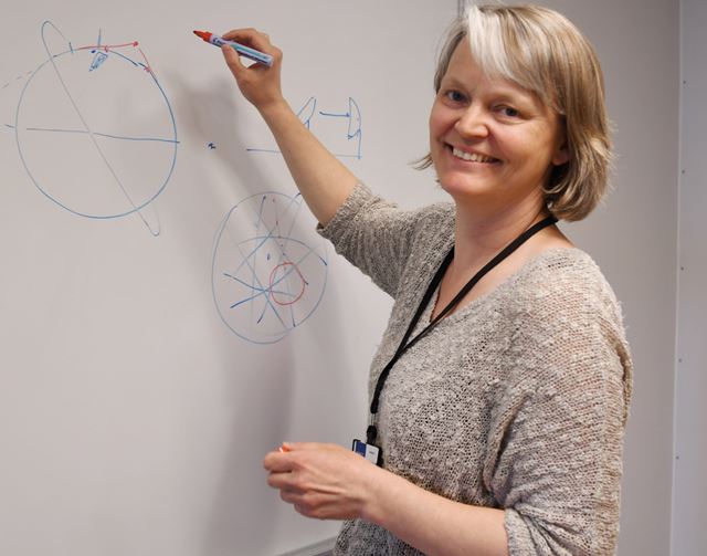
Researcher Irene Jensen argues that Norway must look into the commercial opportunities provided by small satellite technology. She is currently researching aspects such as antenna systems. Photo: Lisbet Jære.
SATELLITE TECHNOLOGY: Together with Kongsberg Seatex and the Norwegian Defence Research Establishment (FFI), SINTEF has been evaluating today’s small satellites and is now submitting recommendations for new satellite antenna systems. The project is being funded by the Norwegian Space Centre.
Researcher Irene Jensen argues that Norway must look into the commercial opportunities provided by small satellite technology. She is currently researching aspects such as antenna systems. Photo: Lisbet Jære.
“In Norway, small satellites have been used in particular for vessel detection”, says Irene Jensen, who is a research scientist at SINTEF. “However, in areas with a high density of vessels, signal collisions become a problem. “In this project we have developed a new type of antenna that improves vessel detection by 12 per cent”, she says.
From the exposure of criminal activity to fisheries monitoring
Small satellites are produced in different sizes, but in order to qualify for this category they have to weigh less than 500 kilograms. The smallest are known as nanosatellites, and can weigh as little as 1 kilogram.
Facts about small satellites
Small satellites weigh less than 500 kilograms, and are classified into three groups: Minisatellites (100-500 kg), Microsatellites (10-100 kg) and Nanossatellites (1-10 kg).
The most commonly used system is known as the Automatic Identification System (AIS).
The first Norwegian satellite (AISSat-1) was launched in 2010 from India, followed by the identical AISSat-2, sent up in 2014 from Russia. They were expected to have a lifetime of three years but, even after seven years, the AISSat-1 continues to function well and both small satellites are carrying out major tasks. In the course of its first thousand days in space, the AISSat-1 orbited the Earth more than 14,500 times, and each time recorded the 30,000 vessels that were sailing across the globe. The satellites are in polar orbits, about 600 kilometres above the Earth’s surface.
The Norwegian Coastal Administration, the Armed Forces and the Joint Rescue Coordination Centres are among those organisations that use the data gathered by satellites to monitor Norwegian territorial waters. For example, the satellites are used in connection with rescue operations and the monitoring of shipping traffic in Arctic waters. Other applications include the tracking of oil discharges and vessels suspected of involvement in illegal activities such as smuggling and environmental crime.
30,000 vessels recorded
Norway has been in the forefront in the development of small satellite technology. The Andøya Space Centre is currently working to expand an existing launch platform used for small satellites. The company Norske Nammo is developing an eco-friendly micro-rocket that can carry small satellites into pre-defined orbits.
New satellites launched in July
The NorSat-1 and NorSat-2 satellites were launched in July as replacements for AISSat-1 and AISSat-2. AISSat-3 will be launched later this year. The NorSat satellites are all equipped with enhanced AIS receivers.
NorSat-2 has a new communications unit that will test two-way data communication via satellite to and from vessels. The new system is called VDES (VHF Data Exchange System) and is an extension of the AIS system.
The aim of these satellites is to monitor global shipping traffic, with particular focus on the Arctic. They shall also be used to study the sun and space weather.
High vessel densities
However, AIS coverage using satellites raises problems in sea areas where high vessel densities result in signal collisions.
As part of this project, researchers have been looking into how they can solve this by shaping the antenna’s radiation pattern in such a way as to enhance data from desired areas, while filtering out data from others. The newest generation of AIS receivers, developed by Kongsberg Seatex, is equipped with four antenna inputs, with the aim of achieving better coverage.
Signal processing is enhanced using the most recent AIS receivers, and the use of multiple antennae will ensure that more vessels can actually be detected, and that each vessel is detected more frequently. “During the project we measured an improvement in vessel detection of up to 12 per cent in areas with high vessel density”, says Jensen.


