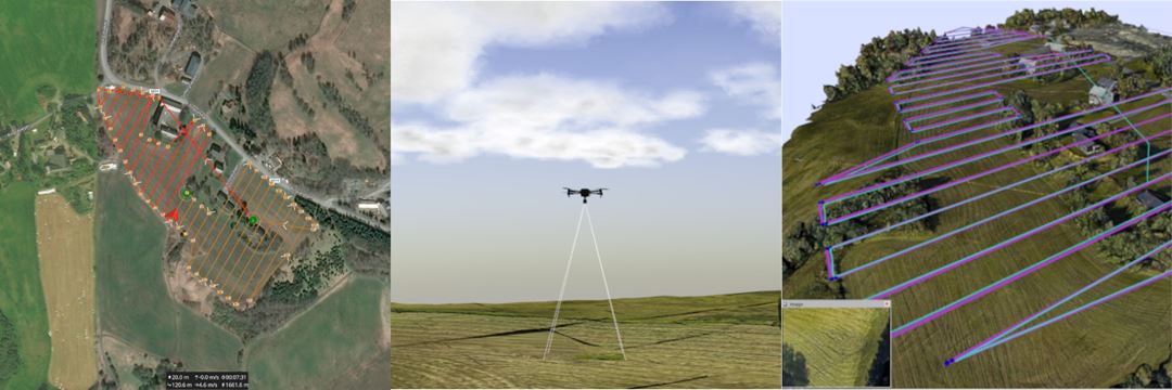
Modern drone platforms, coupled with AI models, enable efficient, powerful, and low-cost inspection and predictive maintenance of infrastructure. Furthermore, autonomous drone-based inspection has many potential uses, such as emergency response and inspection of construction sites, energy installations and road infrastructure. However, manual flight planning is labor-intensive and slow, and current commercial semi-automated solutions are very limited. In Airspector, we aim to address this gap in research and industry by developing tools for aerial inspection planning and simulation.
We are building tools in ROS (Robot Operating System) for simulating and visualizing inspection missions. This allows us to verify inspection missions in simulation with the autopilot software in the loop, making the step from simulation to deployment in the field as small as possible.

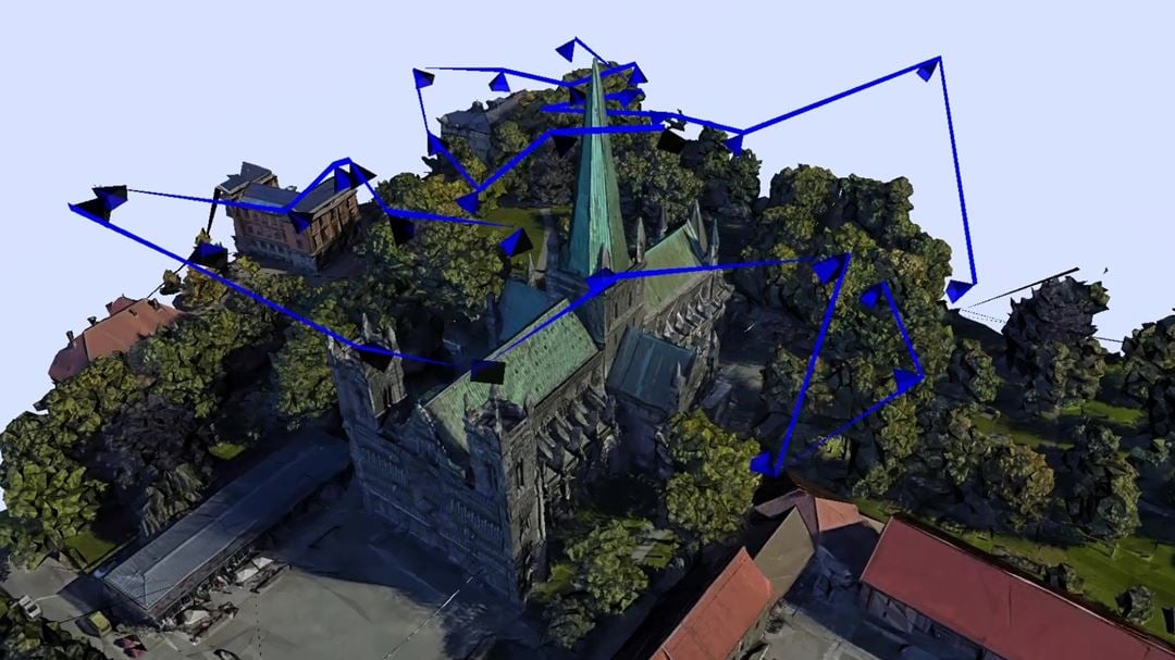
The main goal of the Airspector project is to develop our own aerial inspection planning software. The user provides a model of the UAV and the 3D model to inspect, along with potential areas of interest or no-fly zones. A path is generated to efficiently inspect the model using the camera payload on the drone, while keeping a safe distance to obstacles. The GUI allows the user to clean up the initial mesh and inspect or edit the optimized path and camera viewpoints. The path can then be exported as a georeferenced waypoint mission which is easily uploaded and deployed on open-source drone autopilots.

